
CRAFT
& IDENTITY
A chronicle of my photography in the US
Landscape & Architectural
Hover around to see the work


Data Portrait
An exploration of spatial data visualization, personal archive, and narrative mapping.
Concept
Project Overview
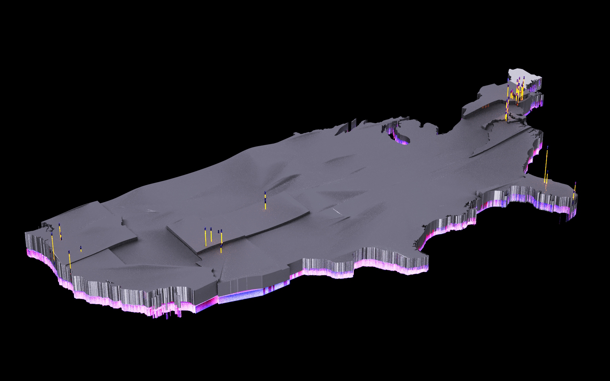
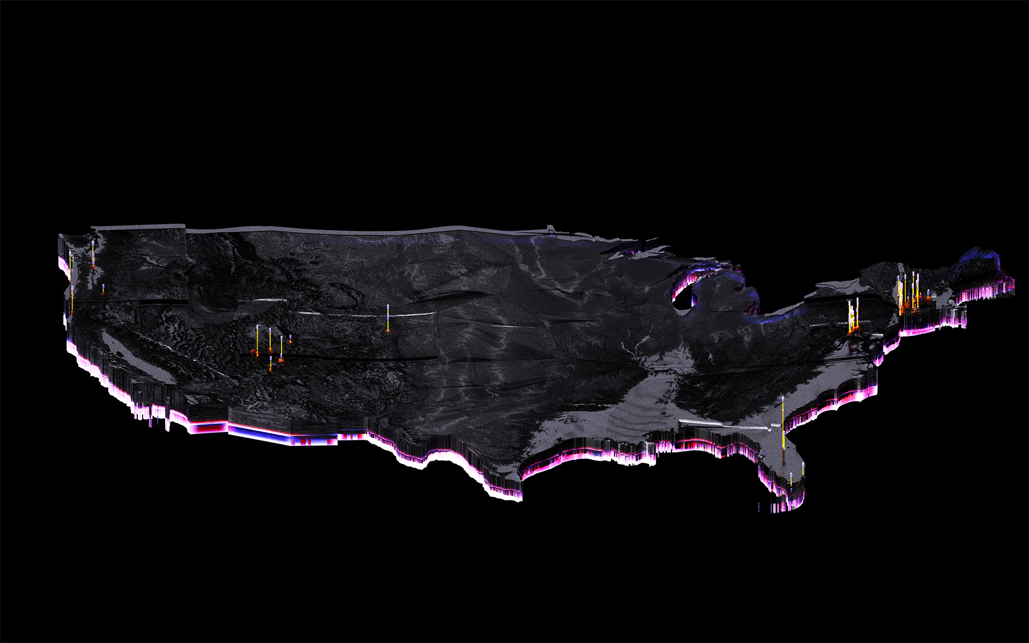
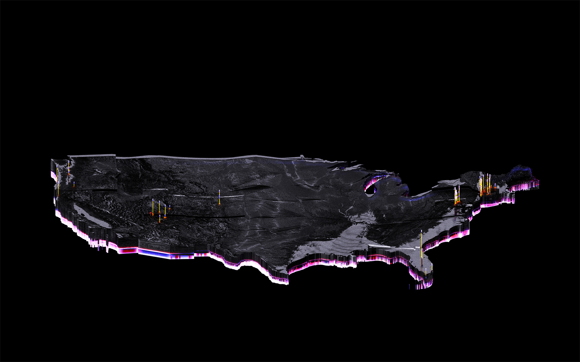
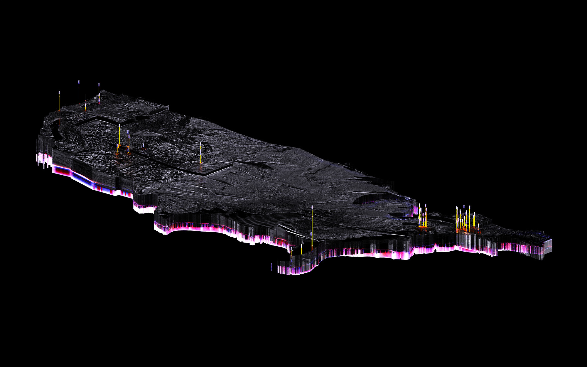
This project is a personal data portrait that maps the geographic locations where I have taken photographs across the United States, with a focus on architectural and landscape subjects. Each data point, represented as a pin, marks a moment of observation and documents how I move through space and what environments I am drawn to capture. Rather than presenting photographs as isolated images, this work reframes them as spatial data and reveals patterns of travel, attention, and visual interest over time.
Research
Base Data
The dataset is derived from personal photographs using embedded metadata such as GPS coordinates, timestamps, and subject classification between architecture and landscape.
Filtering
Encoding
Each photograph is reduced to a single spatial marker, abstracting away the image itself while preserving its location and context. The resulting dataset is visualized as a map of the United States populated with pins, with visual variables such as color, size, and clustering used to distinguish subject type, frequency, and patterns of repeated engagement.
Production
Study
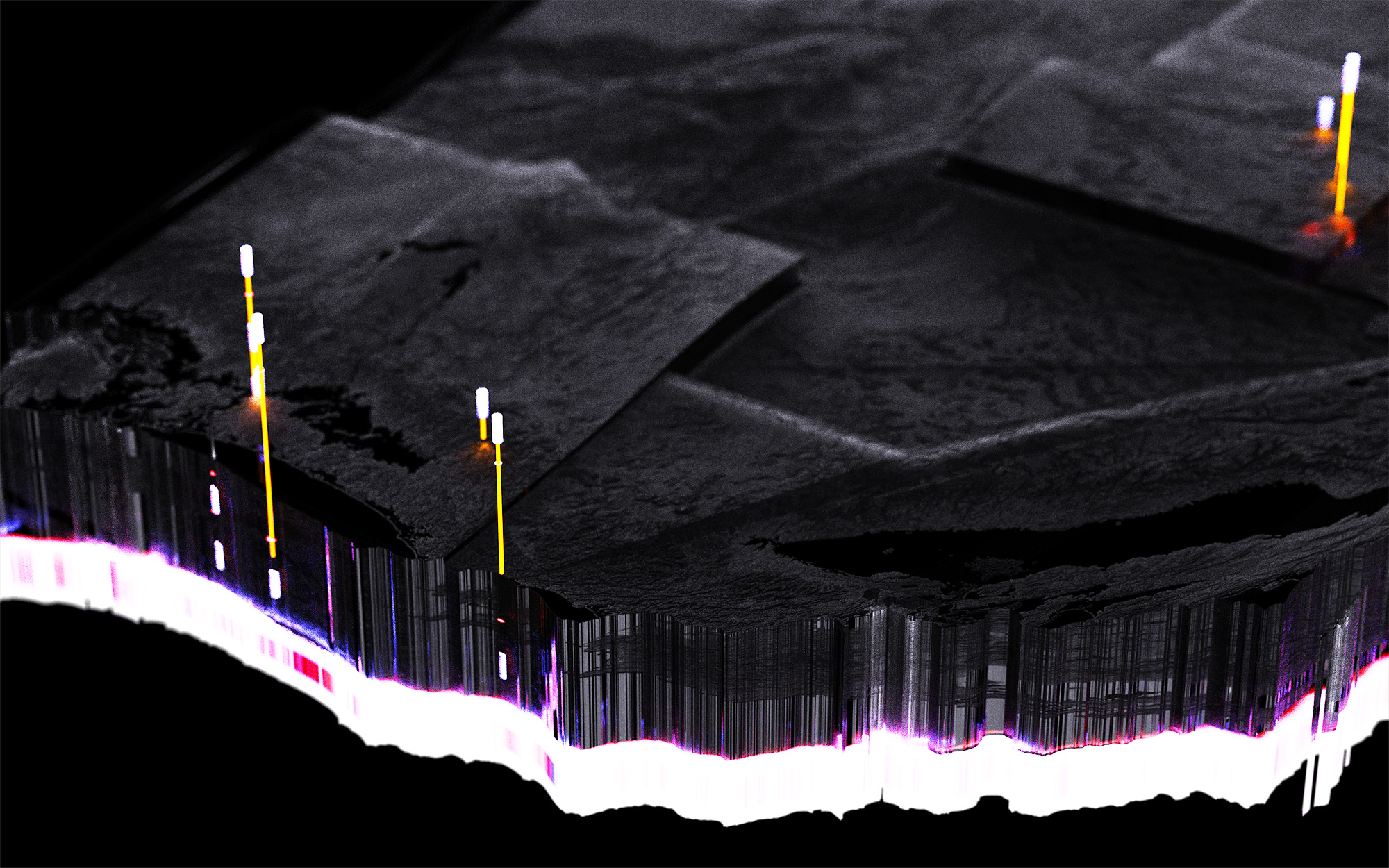
This project became a great opportunity to learn QGIS. Data extracted USGS provided the baseline for the production of the US map with both state and district subdivisions.
The incorporation of GeoTIFF file with the topography of the US provided the data to structure the depth maps for the massing.
Product
Visualization
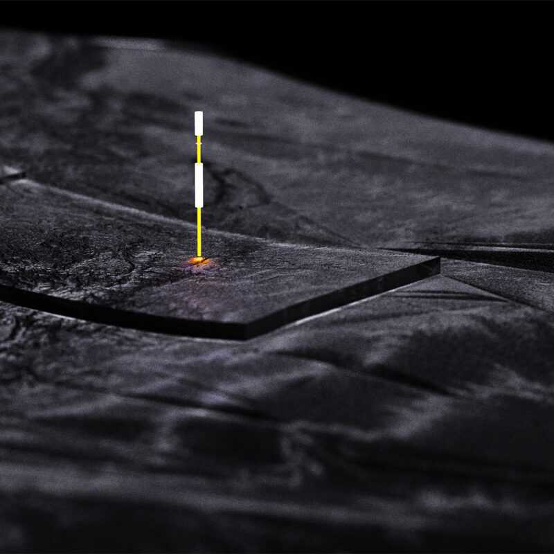
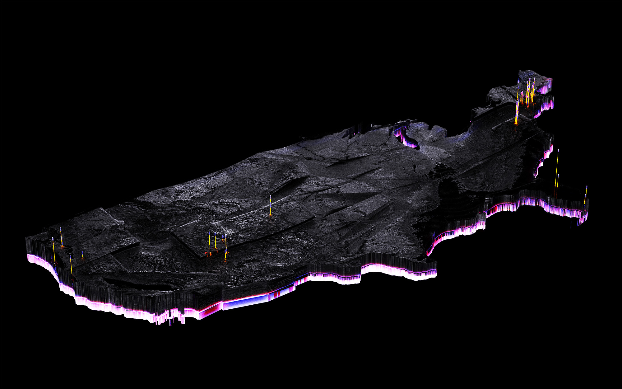
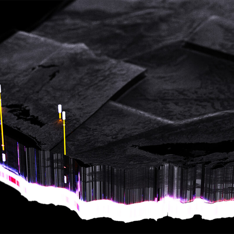
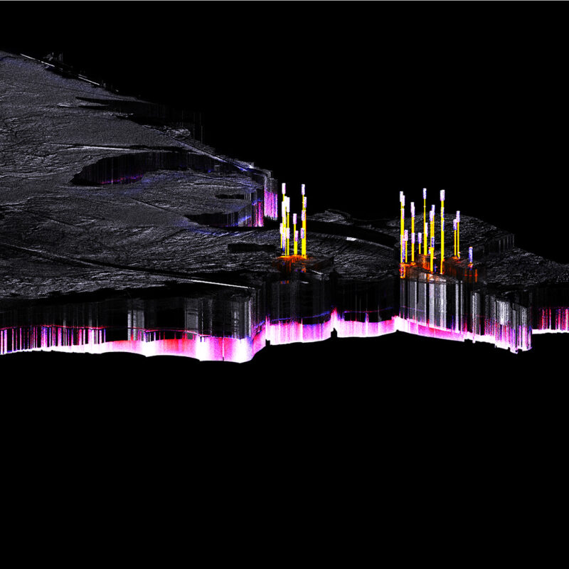
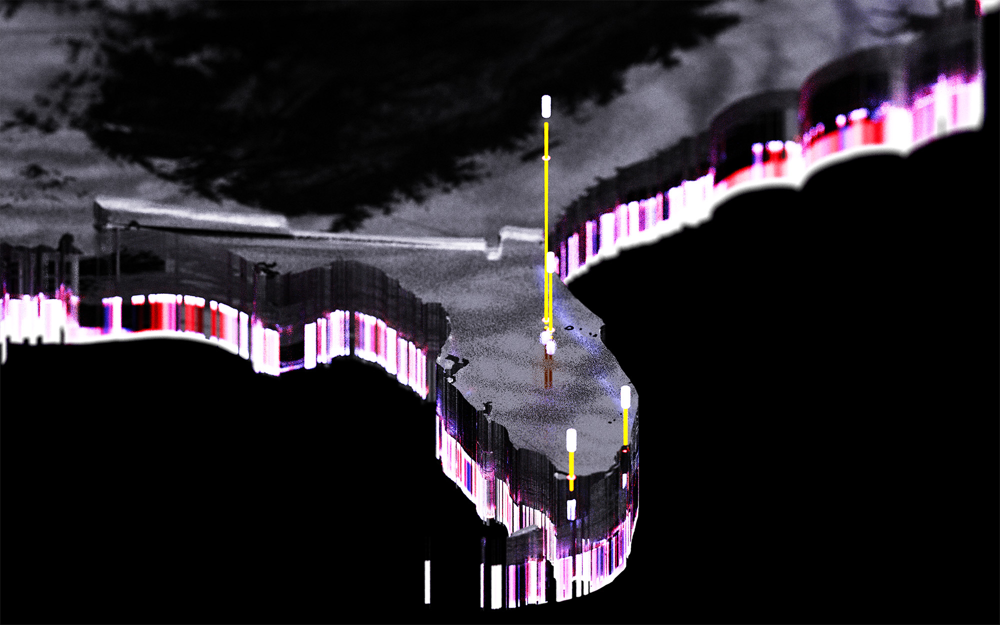
The produced data points are exported as Shapefiles and then processed in Blender GIS for the creation of the 3D geometry. The final models are then rendered using a charcoal material that alludes to the natural geology found across the US. The details for the morphology are produced using the GeoTIFF exported from QGIS.
• Occlusion Map
• Volume Study
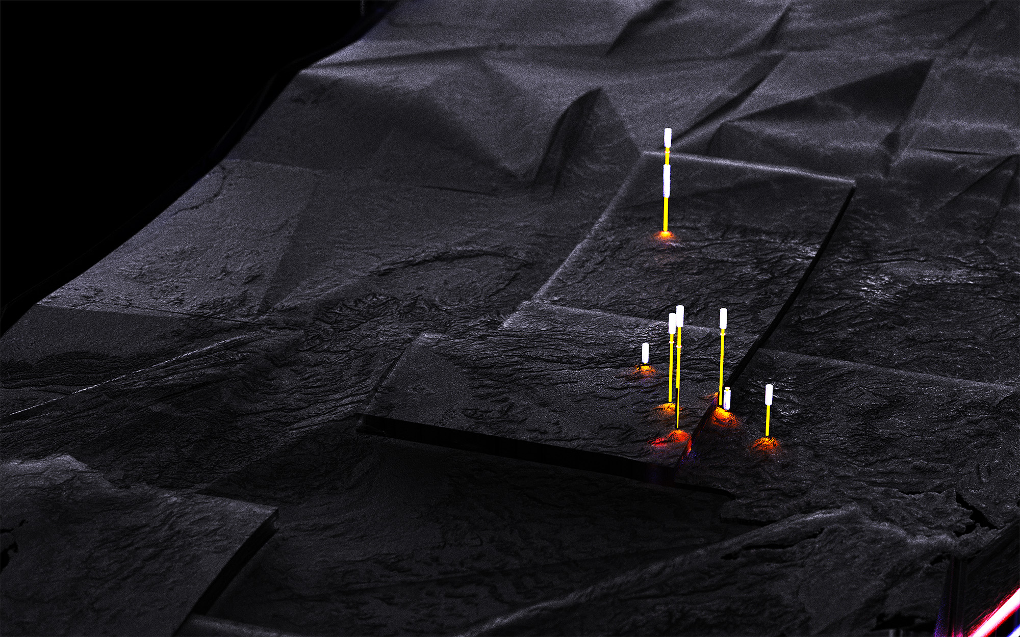
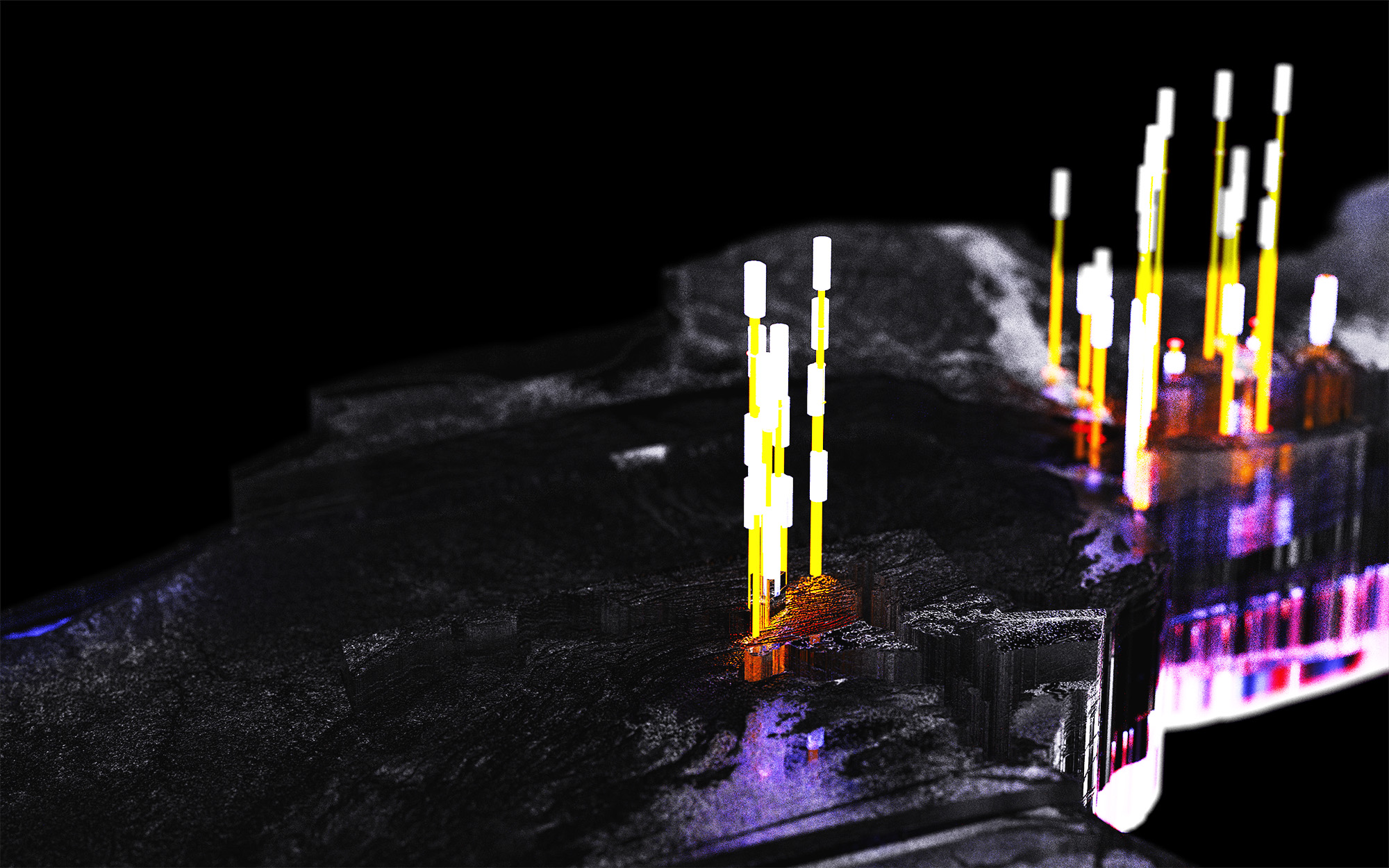
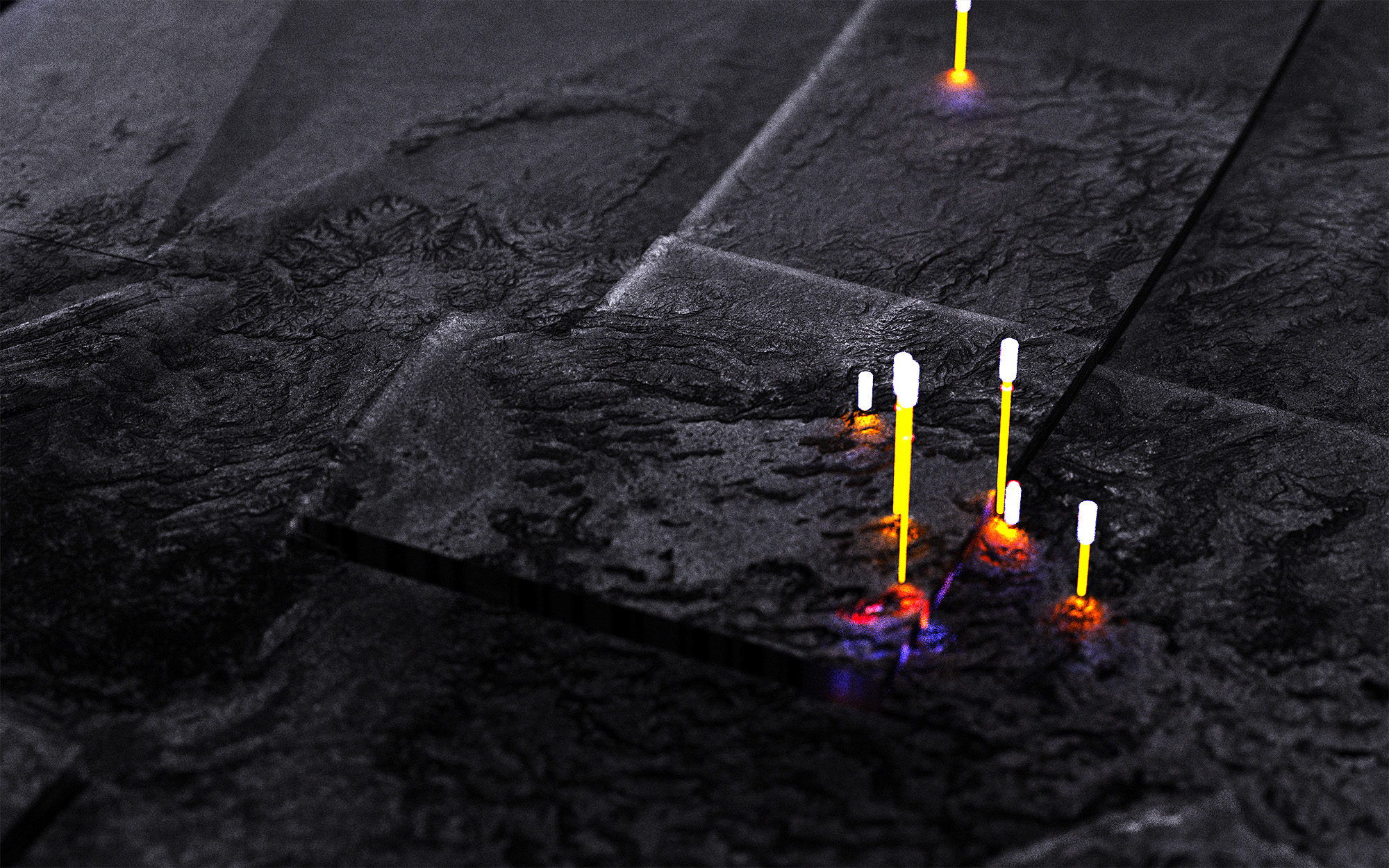
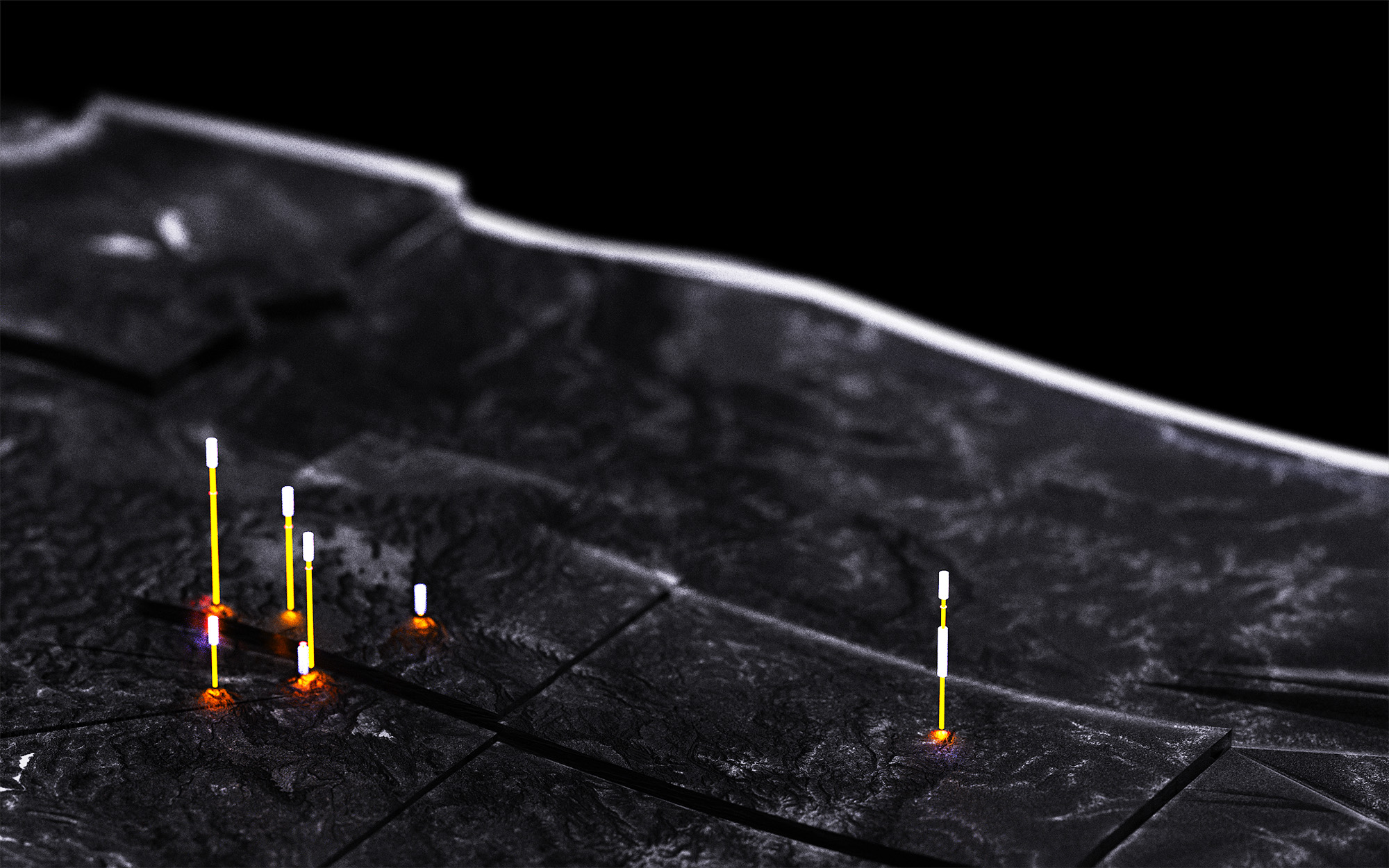
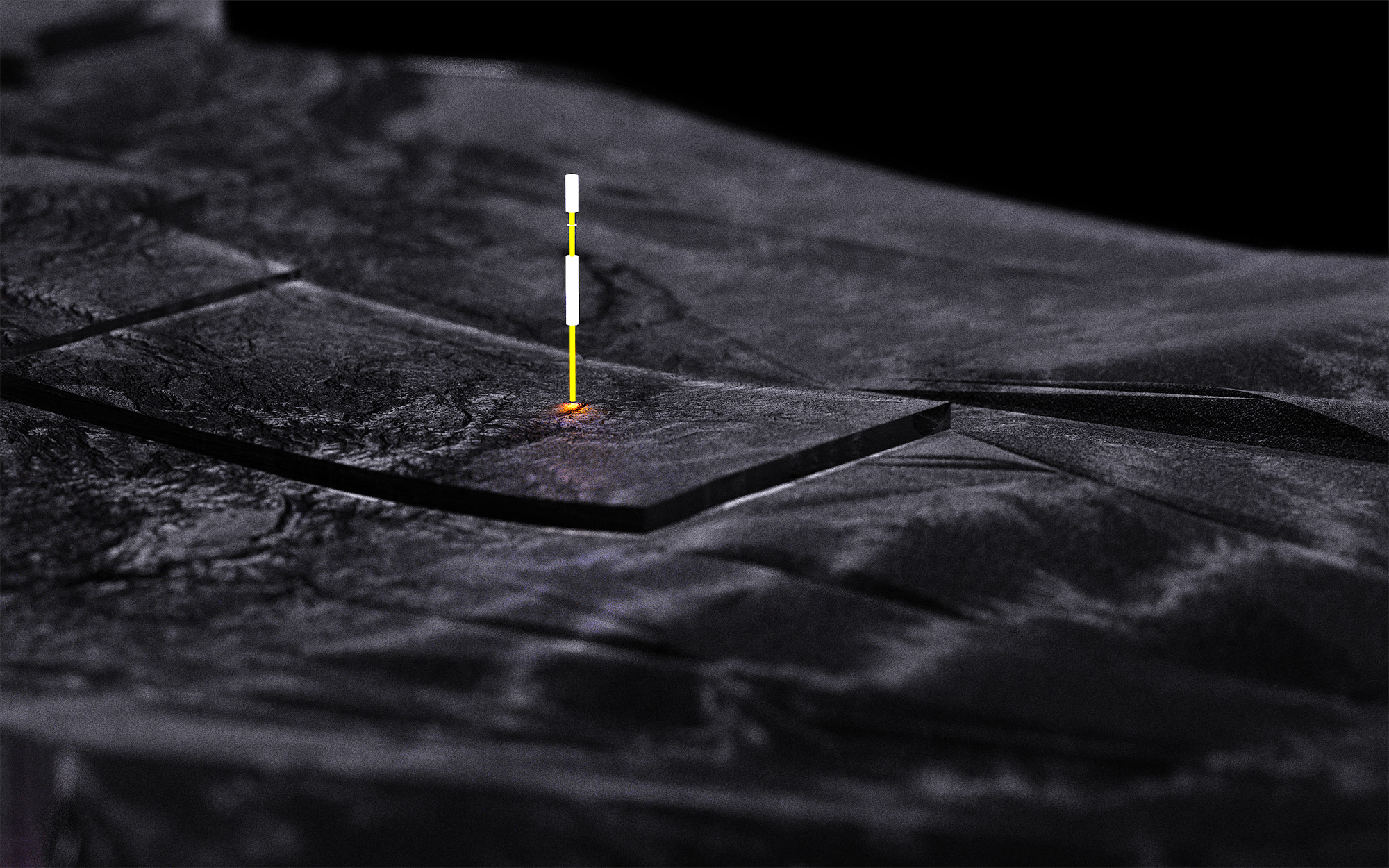
The visual approach prioritizes clarity and accumulation over individual detail. Pins function as both individual markers of specific moments and collective signals that form patterns when viewed at scale.
Legend
Pin height = Editiorial quality
Footprint
Number of rings = Times photographed
Frequency
State Elevation = Number of visits
A Visual Journey
The project explores how photography functions not only as visual documentation but also as a record of presence. By translating a photographic archive into a geospatial map, the work becomes a portrait of where I have been, what I choose to notice, and how those choices accumulate into a larger narrative. The density, distribution, and clustering of pins begin to reveal implicit behaviors, including frequent regions, gaps, and routes. In this way, subjective experience is transformed into a measurable and visual structure.
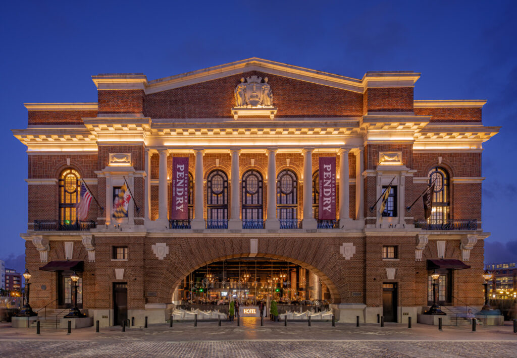
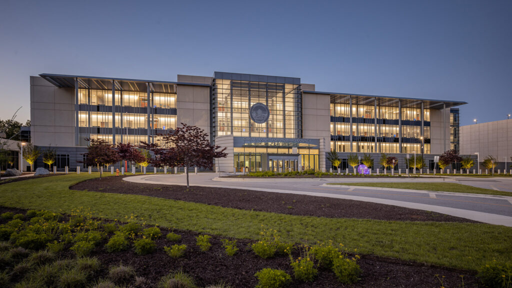
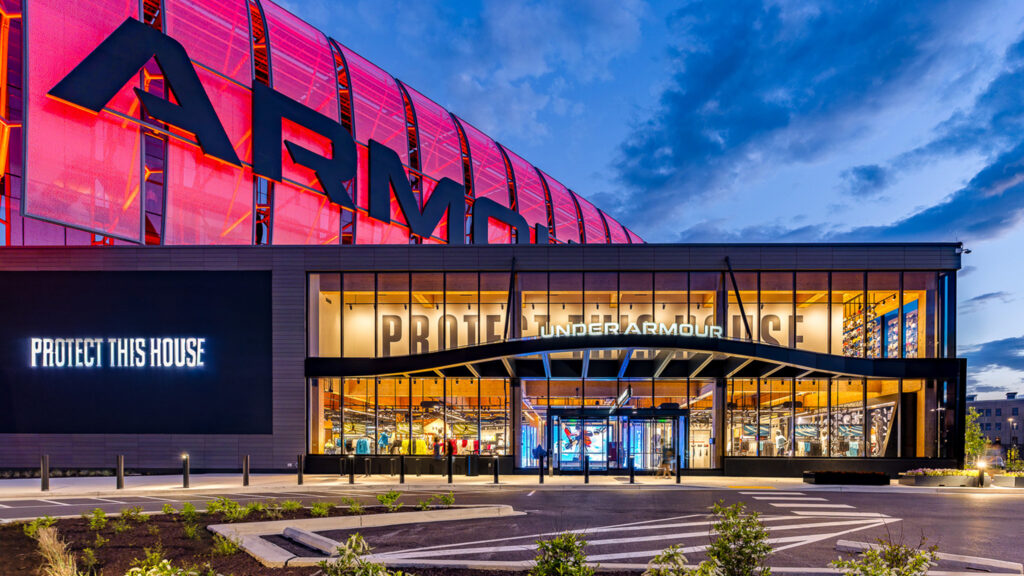
Most of my architectural photography work is concentrated around the New England and Mid-Atlantic area.
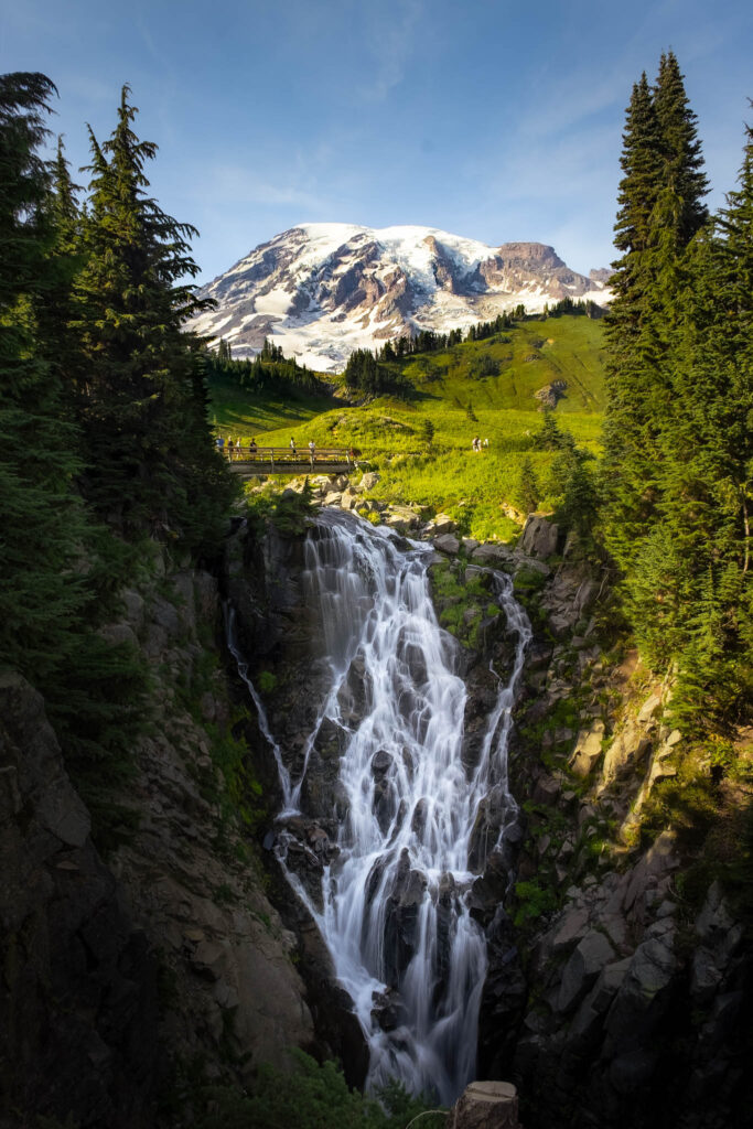
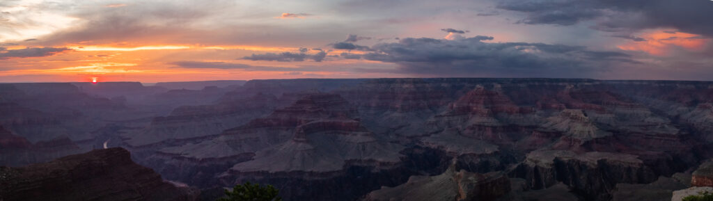
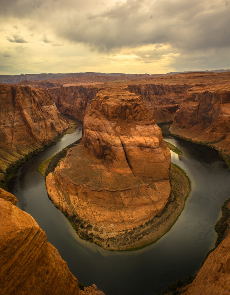
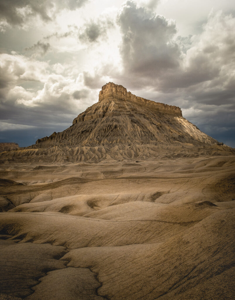
The West is characterized by landscape photography.
East - Architectural
West - Landscape
Gallery


The resulting portrait is not a  literal depiction of the United States, but a filtered
  version shaped by
  personal movement and interest.

Apex
Apex
Map Data Art